REVIEW · KAMPALA
Rwenzori Mountains Trekking with Margherita Peak Summit
Book on Viator →Operated by Bujuku Eco Tours & Travel Ltd · Bookable on Viator
A glacier summit in the Rwenzoris sounds unreal. This trek takes you through equatorial alpine wilderness and up to Margherita Peak (5,109m), the high point of the Rwenzori Mountains. Along the way, you’ll pass river valleys, bamboo forests, and cold bogs packed with plants found nowhere else.
I also love how the route balances big scenery with steady hiking days—Nyabitaba to John Matte, then on to Bujuku, Elena, and finally the summit push—so you can actually acclimatize. The wildlife potential is real too, with chances to spot primates and the colorful Rwenzori turaco in the forest zones.
One consideration: this is not a casual hike. The Margherita climb involves three glaciers, slippery ice/rock, and exposed sections, and climbing gear is not included—so you’ll need to plan properly before you arrive.
In This Review
- Key Highlights You’ll Care About
- First Steps: From Entebbe to Nyakalengijja’s Briefing
- Nyabitaba to John Matte Hut: Bamboo, Moss Rock, and Mountain Views
- Bigo Bog and Bujuku Lake: Freezing Ooze Meets Huge Botany
- Elena Hut Choice Day: Passing Groundsel Gully Toward the Summit Route
- Margherita Peak Summit Day (5,109m): Glaciers, Ice, and Exposure
- Freshfield Pass (4,282m) and the Congo View: Guy Yeoman Night
- Final Descent: Kichuchu Cliffs to Mihunga Gate
- What You Get for the $1,400 Price
- Wildlife and Plant Life: Why This Park Feels Different
- Who This Trek Is Best For (and Who Should Think Twice)
- Tips That Help You Actually Enjoy the Hike
- Book It or Skip It?
- FAQ
- Where does the trek start and end?
- How long is the Rwenzori Mountains trekking trip?
- What’s the summit height for this trek?
- Is pickup included?
- Are meals included?
- Is park admission included?
- Is climbing gear included in the price?
- FAQ
- Does this tour run as a private group?
- Is there a physical fitness requirement?
- Are service animals allowed?
- When can the experience be scheduled?
- What happens if the minimum number of travelers isn’t met?
- What’s the cancellation timeline?
Key Highlights You’ll Care About
- Margherita Peak at 5,109m: serious altitude and a real summit day with glacier travel
- Bogs and giant-lobelia zones: Lower/Upper Bigo Bog crossings that stay unforgettable
- Rare Albertine Rift plants: giant heathers, lobelias, and groundsel across altitude bands
- Sleep in mountain huts and camps: Nyabitaba, John Matte, Bujuku, Elena, Guy Yeoman
- Great logistics focus: meals handled daily and a private group setup
First Steps: From Entebbe to Nyakalengijja’s Briefing
Most of the heavy lifting is handled for you before you even start hiking. Your trip begins with transport that starts back at Entebbe Airport, and you return there at the end. There’s also pickup offered, which matters because getting to trailhead country in Uganda takes time and planning.
Once you reach Nyakalengijja, you get a trip briefing and help organizing your equipment. Then you drop into the park route at the boundary, following the Mubuku River corridor. This first day is mostly about getting your legs working: farmland transitions into thick forest, and you begin a long, steep climb toward Nyabitaba Hut.
I like how Day 1 isn’t just “walk until you’re tired.” It’s a gradual reveal: thick forest, river crossings, and wildlife possibilities before the altitude really hits your lungs.
You can also read our reviews of more tours and experiences in Kampala.
Nyabitaba to John Matte Hut: Bamboo, Moss Rock, and Mountain Views
From Nyabitaba, the trail goes down through forest to Kurt Shafer Bridge, near where the Mubuku and Bujuku river systems meet. Then you enter bamboo forest and get a long stretch of slippery moss-covered rock. This is one of those sections where slow feet win—your job is to keep balance, not to prove anything.
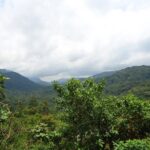
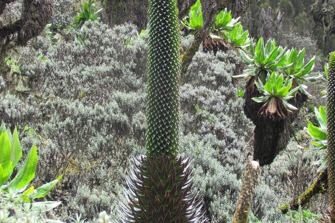
Later you reach Nyamuleju rock shelter, which is a great moment to look up at the big named peaks—Mount Stanley and Mount Speke appear here. After that, the vegetation changes in altitude layers: giant heather zones shift into areas dominated by lobelia and groundsel.
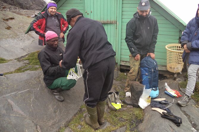
You finish at John Matte Hut after a tough day that can run 7–8 hours. The main drawback here is mud and footing. If you’ve got weak ankles or shoes that hate wet rock, this is where you’ll feel it—so pack smart and take your time.
Bigo Bog and Bujuku Lake: Freezing Ooze Meets Huge Botany
Day 3 starts with a drop down to cross the Bujuku River, then you enter Lower Bigo Bog. This is where the Rwenzori get weird—in a good way. You’re walking through a bog environment where giant lobelias grow, and your step becomes a careful dance.
You’ll cross by hopping from tussock to tussock. The trail is described as rarely without your feet finding some freezing ooze below, so take that as a heads-up, not a surprise. If you hate cold wet shoes, you’ll want to treat that as your personal warning label.
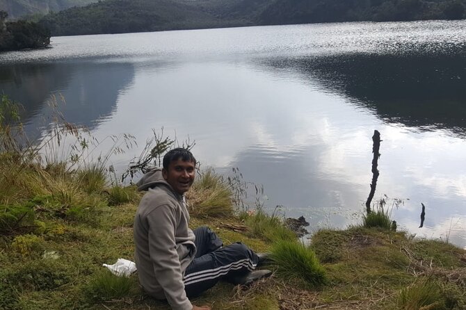
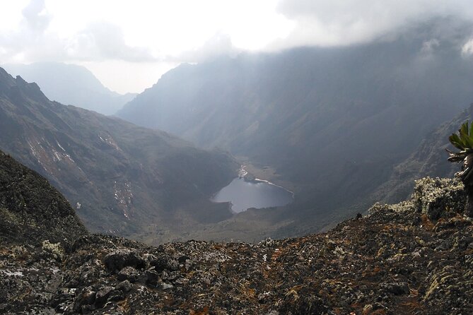
Once the bog section opens up, Bujuku Lake shows itself, with views toward Mount Baker to the south and Mount Stanley to the west. Then you reach Bujuku Hut, sitting in a narrow valley below Stuhlmann Pass, in the shadow of Mount Baker and Mount Speke. It’s a good acclimatization stop for people targeting the higher peaks later.
This day is a favorite because it’s both scenic and biologically unique. You’re not just seeing mountains—you’re seeing a whole altitude-driven plant system.
Elena Hut Choice Day: Passing Groundsel Gully Toward the Summit Route
On Day 4, the trail continues through boggy terrain and climbs above Bujuku Lake. You’ll pass through Groundsel Gully, described as magical forest terrain. Then things branch by objective.
There’s a fork in the logic of the trip: one path leads toward Kitandara Lakes and Kitandara Hut, while the Margherita climbers move right up to Elena Hut. If you’re going for Margherita, you’ll be staying at Elena Hut and pushing toward Mount Stanley territory.
This day’s main value is setting up the summit morning. You’re not at the summit yet, but you’re positioning yourself in the right altitude and terrain. The drawback is that this “setup day” is still hiking time. You’ll feel it, but you’ll also be grateful once the summit day arrives.
Margherita Peak Summit Day (5,109m): Glaciers, Ice, and Exposure
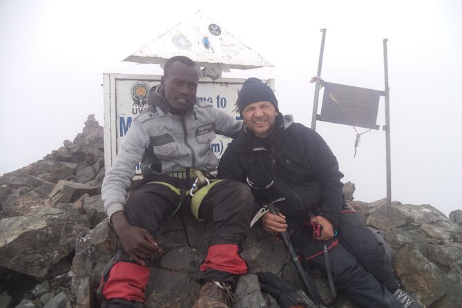
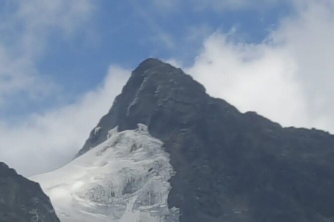
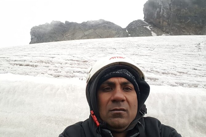
The big day starts early. The climb up to Margherita Peak takes about 4–5 hours, depending on weather and pace. Even if you’re fit, the route itself forces respect—this is a tough walk over three glaciers, with slippery rock, ice, and exposed sections on many sides.
You’ll cross the Stanley Plateau, then scramble upward through cold, changeable conditions. Fog is a factor, and altitude sickness is always a risk at these heights, so the route expects you to arrive acclimatized and move conservatively.
Once you summit Margherita (5,109m), the feeling is obviously the point. But what you’ll remember day-to-day is the descent back to Elena Hut, which takes about 2–3 hours. Summit days are never just “up.” They’re also about controlled movement on the way down.
Your best strategy: don’t race. The exposed sections reward patience and steady foot placement more than athletic bravado.
Freshfield Pass (4,282m) and the Congo View: Guy Yeoman Night
Day 6 is about transitions and bigger altitude drama. From Kitandara, the trail climbs steeply up the headwall near Mount Baker, then continues along the south side of the mountain. After that steady push, you reach Freshfield Pass (4,282m).
From the pass you get far-reaching views: you can see into the Congo to the west and Mount Stanley to the north. Then the trail enters long, high alpine mossy terrain, followed by a descent through steep rocky trails.
You stop at Bujongolo rock shelter, noted as the base camp for the historic expedition by the Duke of Abruzzi back in 1906. You then overnight at Guy Yeoman Camp.
This is one of the more interesting days because it connects modern hiking to early mountaineering history. Even if you don’t care about the backstory, the terrain makes the connection feel real.
Final Descent: Kichuchu Cliffs to Mihunga Gate
After Guy Yeoman, the route heads down again. You descend the cliffs of Kichuchu, then continue with a muddy path that crosses the Mubuku River twice through bamboo forest. This bamboo forest section is a nice change from bog and glacier talk—it’s calmer, greener, and it helps your body reset.
Then you climb down toward Nyabitaba to complete the circuit. From there, you continue descending Nyabitaba Camp and finish the trek by evening at Mihunga gate.
Day 7 is a long finish—7–8 hours descent time. Your legs will be tired, but that’s the point of a good circuit: you gradually earn the end without a sudden “last 90 minutes from hell.”
What You Get for the $1,400 Price
At $1,400 per person for a roughly 7-day private trek, the value is tied to what’s handled for you and what isn’t. Here’s the honest math: you’re paying for guided mountain support across hut-to-hut logistics, plus daily meals.
Included meals are breakfast (7), lunch (7), and dinner (7), and the tour includes pickup. The tour also lists park admission as free (ticket noted as free), which is a nice cost saver for park access.
What’s not included is climbing gear. That’s the main “watch the budget” item. If you need boots, poles, ice/technical gear, or other summit hardware, factor that cost in ahead of time instead of hoping it’s covered.
The reviews also point to a recurring strength: organization that runs smoothly and guides who help you stay safe and comfortable on route. People specifically mention clear communication and a professional team, and that matters here because you’re dealing with cold, mud, and high exposure.
Wildlife and Plant Life: Why This Park Feels Different
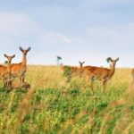
The Rwenzori Mountains aren’t just tall. The park protects a mountain range known for rare alpine vegetation tied to equatorial Africa. The park is described as home to 70 mammals and 217 bird species, including 19 Albertine Rift endemics, plus some of the world’s rarest plant life.
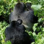
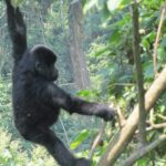
So when you walk through giant heather, lobelia, groundsel zones, you’re watching altitude-specific ecosystems. When you cross Bigo Bog, you’re inside a habitat that doesn’t exist at low elevation. And when you move through forest sections, your chances for sightings improve—things like black-and-white colobus, blue monkeys, and the brightly colored Rwenzori turaco are all possibilities on this route.
In practical terms, this means you shouldn’t rush. Slow hiking gives you time to look up, look around, and notice what changes from one hut area to the next.
Who This Trek Is Best For (and Who Should Think Twice)
This trek is listed for travelers with moderate physical fitness. That said, Margherita Summit is not moderate in the usual sense. The walking days can be long, bog sections can be slick, and the summit day is technical with glaciers and exposure.
This is a strong fit if you:
- want a true summit challenge at altitude (not just a scenic walk)
- can handle cold wet terrain and keep moving safely
- like having a professional team managing camp/hut transitions and meals
Think twice if you:
- know you struggle on slippery footing
- don’t have (or don’t plan to get) the right climbing gear
- have medical concerns related to altitude and haven’t discussed them with a professional
Tips That Help You Actually Enjoy the Hike
You’ll be dealing with changing ground—forest, bamboo, moss rock, bog ooze, and glacier ice/rock. That’s why equipment matters and why pace matters.
If you can, bring gear that handles wet and cold. If you’re wearing shoes that get ruined by water, you’ll suffer. If you have gear that helps on slips—like sturdy footwear and poles—that helps more than a big attitude.
Also: start early when possible and keep your effort steady. On summit day, weather can change everything. You can’t control fog or ice conditions, but you can control whether you save your energy.
Book It or Skip It?
Book this trek if your goal is a real mountain achievement, and you’re ready for cold, technical conditions. The combination of Margherita Peak (5,109m), glacier terrain, and the park’s unusual ecosystems makes it a standout for hikers who want more than a photo walk.
Skip it (or choose a different objective) if you’re not prepared for exposed glacier travel or if you haven’t budgeted for climbing gear. Also, if your health history makes altitude risk hard to manage, talk to a medical professional before committing.
If you do book, you’re signing up for hut living, wet feet moments, and a summit day that’s as serious as the number on the map.
FAQ
Where does the trek start and end?
The activity starts at Entebbe Airport, Entebbe Uganda and ends back at the meeting point.
How long is the Rwenzori Mountains trekking trip?
It’s listed as 7 days (approx.).
What’s the summit height for this trek?
The tour is focused on summiting Margherita Peak (5,109m asl).
Is pickup included?
Yes, pickup is offered.
Are meals included?
Yes. Breakfast, lunch, and dinner are included for 7 days.
Is park admission included?
The information shows the admission ticket as free.
Is climbing gear included in the price?
No. Climbing gear is not included.
FAQ
Does this tour run as a private group?
Yes. It’s listed as a private tour/activity, with only your group participating.
Is there a physical fitness requirement?
The tour says travelers should have moderate physical fitness.
Are service animals allowed?
Yes, service animals are allowed.
When can the experience be scheduled?
Opening hours listed are Monday–Friday, 7:00 AM to 5:00 PM, within the range 06/06/2021 to 06/18/2026.
What happens if the minimum number of travelers isn’t met?
If it’s canceled due to not meeting the minimum, you’ll be offered a different date/experience or a full refund.
What’s the cancellation timeline?
You can cancel up to 24 hours in advance for a full refund. Changes within 24 hours aren’t accepted.