REVIEW · DALAT
Dalat Trekking to Langbiang mt
Book on GetYourGuide →Operated by vietaction.com · Bookable on GetYourGuide
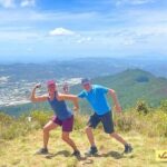
Lang Biang turns Dalat into a high-altitude viewpoint. This 6-hour guided hike takes you up to the summit at 2,167 m, through pine forest and on toward a panoramic, foggy-weather view that makes the whole city feel dreamlike.
What I love most is the mix of nature and local context: you walk through the 3-leaf pine forest and you also learn about the plants, animals, and culture around the area. The main thing to think about is effort—parts of the trail can be steep and muddy, so sturdy shoes matter.
In This Review
- Key takeaways before you go
- Lang Biang: The Roof of Dalat and Why It’s Worth the Climb
- The 6-hour flow: pickup, climb, summit, and back down
- Stop 1: Starting location and getting oriented
- Stop 2: The climb to Lang Biang, step by step
- Stop 3: Finish back in Dalat
- What the trail feels like (and how to prepare)
- The pine forest, the wildlife talk, and the ethnic connection
- Lunch on top: why it’s included and how it works
- Views at altitude: what “foggy Dalat” can look like
- Price and value: why $52 makes sense here
- Who this trek is best for (and who should think twice)
- What’s included vs what you handle yourself
- Should you book Dalat Trekking to Langbiang Mountain?
- FAQ
- How long is the Langbiang trek?
- What is the starting location for pickup?
- What does the tour include?
- What is not included in the price?
- Is there a guide?
- How long is the hiking route?
- Where does the hike finish?
- What should I expect on the trail?
- What’s the altitude and why does it matter?
- Is it easy to change or cancel plans?
Key takeaways before you go
- Summit views that cover all of Dalat from the highest point in the area
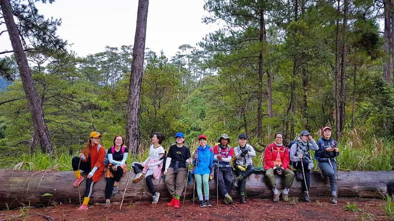
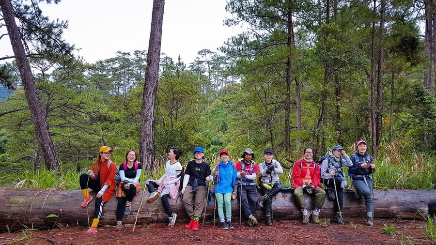
- 3-leaf pine forest trekking with a real sense of changing scenery as you climb
- Lunch on the mountain, typically arranged so you can eat without slowing the hike too much
- English-speaking guide who explains plants, animals, and the ethnic community nearby
- 8.6 km of trail that rewards you, but still asks for steady walking
Lang Biang: The Roof of Dalat and Why It’s Worth the Climb
Langbiang Mountain is one of Dalat’s best-known hikes for a reason: it’s the kind of trip where the effort stays in balance with the payoff. You’re not just walking to a view—you’re moving through a forest environment that changes your mood as the altitude climbs. At 2,167 m, Lang Biang is considered the highest mountain in Dalat, and once you reach the top, the city looks smaller and more dramatic.
The trekking route also has a strong “outdoors + learn something” feel. The forest corridor is a real contrast from city sightseeing, and your guide is there to turn the hike into more than steps. In past groups, guides such as Tom and Jim have been praised for being informative about the plants and animals you pass, plus the culture connected with the ethnic community in the area.
The view is the obvious reason to do it, but the better reason is the rhythm. You’ll get a long enough walk to feel like you escaped the roads, and still return to Dalat without your day disappearing.
You can also read our reviews of more tours and experiences in Dalat.

The 6-hour flow: pickup, climb, summit, and back down
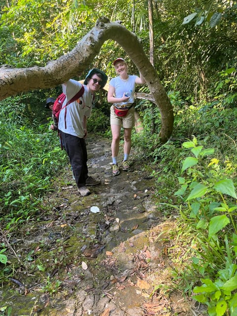
This experience is built around a single hiking block—about 6 hours total—so it fits well into a Dalat schedule without forcing you to plan your whole week around one day. You’re picked up from your center hotel by car, then driven to the start area.
From there, your day centers on one main thing: the ascent to Lang Biang, along a trail that totals 8.6 km. The route leads you through the 3-leaf pine forest, and it’s a big part of why the hike feels different from a plain “uphill and back” walk. Pine forest means more shade early on and a cooler microclimate compared with open viewpoints.
Stop 1: Starting location and getting oriented
You’ll begin at a central Dalat pickup point (the meeting location is listed as 32 Phan Đình Giót) and then head toward the trail. This part matters more than it sounds. If you start the climb already knowing your pace and what your guide is watching for, the hike feels smoother once the slope gets going.
Stop 2: The climb to Lang Biang, step by step
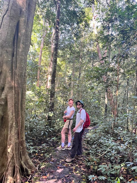
This is the heart of the experience: guided walking through pine forest toward the summit. Expect a gradual build—then at moments, a more direct uphill effort. Past guests have described most of the route as quite steep, but still accessible with a guide pacing the group.
One detail that helps: your guide typically explains what you’re seeing. That kind of commentary is not just trivia—it gives your eyes a job, so you notice things besides your feet. Guides like Tom and Jim have been called out for pointing out plants and wildlife themes, and for sharing context about the ethnic community you’ll connect with later.
Stop 3: Finish back in Dalat
After the summit experience, the trek wraps up back toward Dalat. The trail route described for this hike finishes in Lat commune, where the Lach people live. That’s the local “thread” that connects your walk to people and place, not just scenery. Once you reach the end point, the plan is to return you to Dalat and your starting area.
What the trail feels like (and how to prepare)
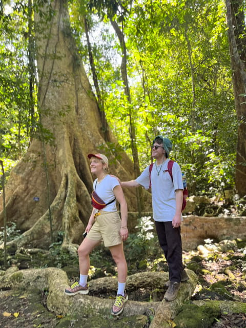
Lang Biang is popular, so you’ll likely see other hikers, but it still feels like a real hike rather than a short sightseeing stroll. The trail length (8.6 km) and the higher elevation mean you should treat it like a workout day, not a casual walk.
Here’s the practical way to think about it:
- Steep sections are part of the deal. Reviews note the track can be steep, and that it can feel tiring on the way up.
- Mud is possible. One guide was specifically praised for looking after hikers when the track was tired and muddy, so plan for wet, slick patches depending on weather.
- Your pacing matters. A guide who sets a steady rhythm helps you keep energy for the summit portion instead of burning out early.
What you bring changes your comfort level a lot. Wear shoes you trust on uneven ground. Water is provided, but you still want your gear to feel secure so you can focus on the climb.
The pine forest, the wildlife talk, and the ethnic connection
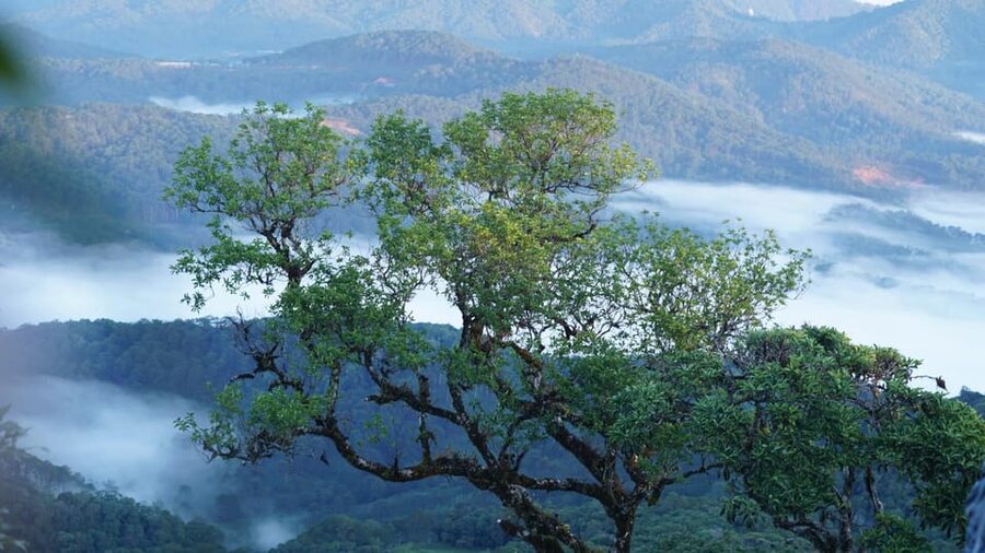
The climb through the 3-leaf pine forest is a core feature of this trekking experience, and I think it’s one of the best ways to see Dalat beyond the city center. Pine forest brings shade and smells different than open paths. It also tends to make the hike feel more “in Vietnam” and less like you’re just walking up a generic hill.
Your guide’s role is especially important here. In highly rated days, guides like Tom and Jim were described as very informative about plants and animals, plus the culture of the ethnic community around the area. Even if you only catch pieces of the story along the way, it adds meaning to what you’re looking at.
The human piece comes in at the finish area in Lat commune, tied to the Lach people. You’re not doing a formal museum visit here. It’s more subtle: your guide’s explanation helps you understand that this mountain region connects to living communities, not just tourist routes.
Lunch on top: why it’s included and how it works
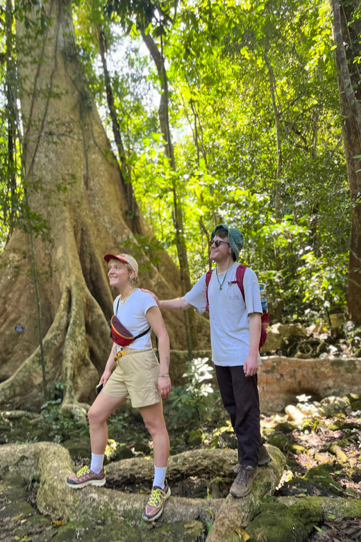
Lunch is included, along with water. That sounds simple until you’re the one carrying your own food up a humid hillside. In a top-rated experience, the guide made a very specific lunch setup happen during the hike—such as ripe fruit and a banh mi-style meal carried up the mountain. That matters because it removes a big headache: you can focus on the climb and still eat like a person, not a snack-for-survival version of travel.
You may still want extra drinks or personal snacks, because the plan specifies beverage at any meal is not included. I’d treat bottled drinks or extra snacks as optional add-ons so you’re not disappointed if you want something beyond water.
The best part isn’t only the food. It’s the timing. Eating after you reach the summit area (or during the summit stretch) lets you make the most of the views while you’re fueled, not just winded.
Views at altitude: what “foggy Dalat” can look like
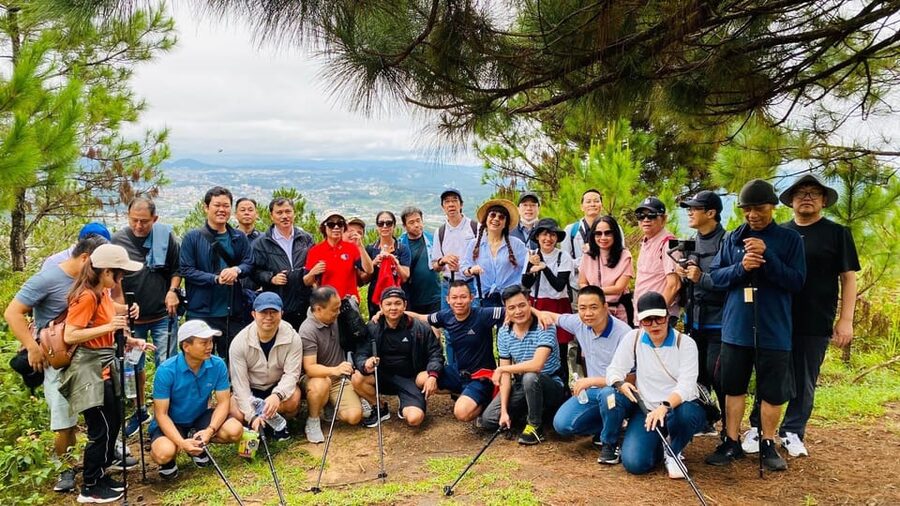
Lang Biang is famous for wide views of Dalat and surrounding areas. The summit is the payoff, but conditions matter because Dalat weather can shift. The description points to a foggy, dreamlike city feeling from up high, which is exactly the kind of atmosphere that turns a view into a memory.
If clouds roll in, you might get moments where the scene clears and reveals Dalat below. If the sky stays clear, you’ll get more of the classic panoramic look. Either way, the hike gives you a high vantage point at 2,167 m, so you’re not just “walking near a viewpoint.” You’re getting above the daily noise.
Price and value: why $52 makes sense here
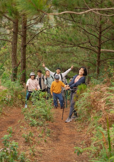
The price is listed at $52 per person, and it’s not just for a map pin. You’re getting:
- Hotel pickup and drop-off by car
- An English-speaking guide
- Lunch + water
- Entrance fees and forest/tourist permits
- First aid kit + insurance
When I look at value, I focus on what would cost you extra if you tried to DIY it: transport, permits/entry paperwork, a guide who knows the route and can explain what you’re seeing, and the logistics of getting lunch sorted. That’s where the package price earns its keep.
Could you hike Lang Biang on your own? Maybe. But paying this rate is how you buy back your time and energy. You show up, follow the guide, eat well, and end the day back in Dalat.
Who this trek is best for (and who should think twice)
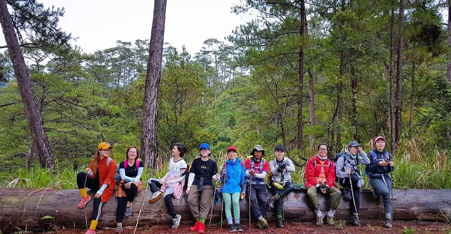
This is a strong choice for active travelers who want a meaningful nature break without a whole-day adventure. It’s also ideal if you like learning while moving—especially if you enjoy plant and wildlife spotting, plus cultural context about ethnic communities in the region.
It’s less ideal if you’re avoiding uneven footing or you don’t enjoy steep uphill walks. Reviews describe parts of the trail as steep and sometimes muddy, even if it’s considered accessible. If you have limited hiking stamina, you may find you need extra breaks and slower pacing.
What’s included vs what you handle yourself
You’re covered for the essentials that make the hike run smoothly:
- Car pickup and drop-off from your center hotel
- English-speaking guide
- Lunch + water
- Entrance fees and necessary forest/tourist permits
- First aid kit + insurance
You’ll want to plan for the add-ons:
- Beverage at meals is not included
- The plan notes that personal major medical care, including evacuation insurance, is recommended (insurance coverage details can vary by traveler)
Should you book Dalat Trekking to Langbiang Mountain?
If you want a one-day experience that blends forest trekking, summit views, and real local explanation, I’d book it. The combination of a well-timed lunch, hotel transport, and an English guide turns this into a day you can enjoy rather than wrestle with.
I’d especially recommend it if you’re the type who gets more out of a trip when someone points things out for you—like plants, animals, and cultural stories connected to the mountain region. And if you’re comfortable with steep, sometimes muddy trail conditions, the summit payoff is the main reason you came to Dalat.
If you tell me your hiking comfort level and when you’re going, I can help you decide whether to pair this with other Dalat activities that same day.
FAQ
How long is the Langbiang trek?
The trek runs for about 6 hours.
What is the starting location for pickup?
Pickup is listed from 32 Phan Đình Giót, with hotel pickup and drop-off included for your center hotel.
What does the tour include?
It includes car pickup and drop-off, an English-speaking guide, lunch and water, entrance fees, forest and tourist permits, plus a first aid kit and insurance.
What is not included in the price?
Beverages at meals are not included, and personal major medical (including evacuation insurance) is recommended.
Is there a guide?
Yes, you’ll have an English-speaking guide on the hike.
How long is the hiking route?
The trail is described as 8.6 km.
Where does the hike finish?
The hike finishes in Lat commune, where the Lach people reside, and the tour ends back in Dalat.
What should I expect on the trail?
The route includes steep sections and may be muddy. It’s described as accessible, but expect a real uphill effort.
What’s the altitude and why does it matter?
Lang Biang is at an altitude of 2,167 m above sea level, and reaching the summit is part of why the views are so expansive.
Is it easy to change or cancel plans?
You can cancel up to 24 hours in advance for a full refund. There’s also a reserve now & pay later option.